1,025 kilometers of dramatic sea cliffs, pristine beaches, and fishing villages along Tohoku's Pacific Coast. A journey of recovery, resilience, and breathtaking natural beauty.
Explore the Trail ↓The 
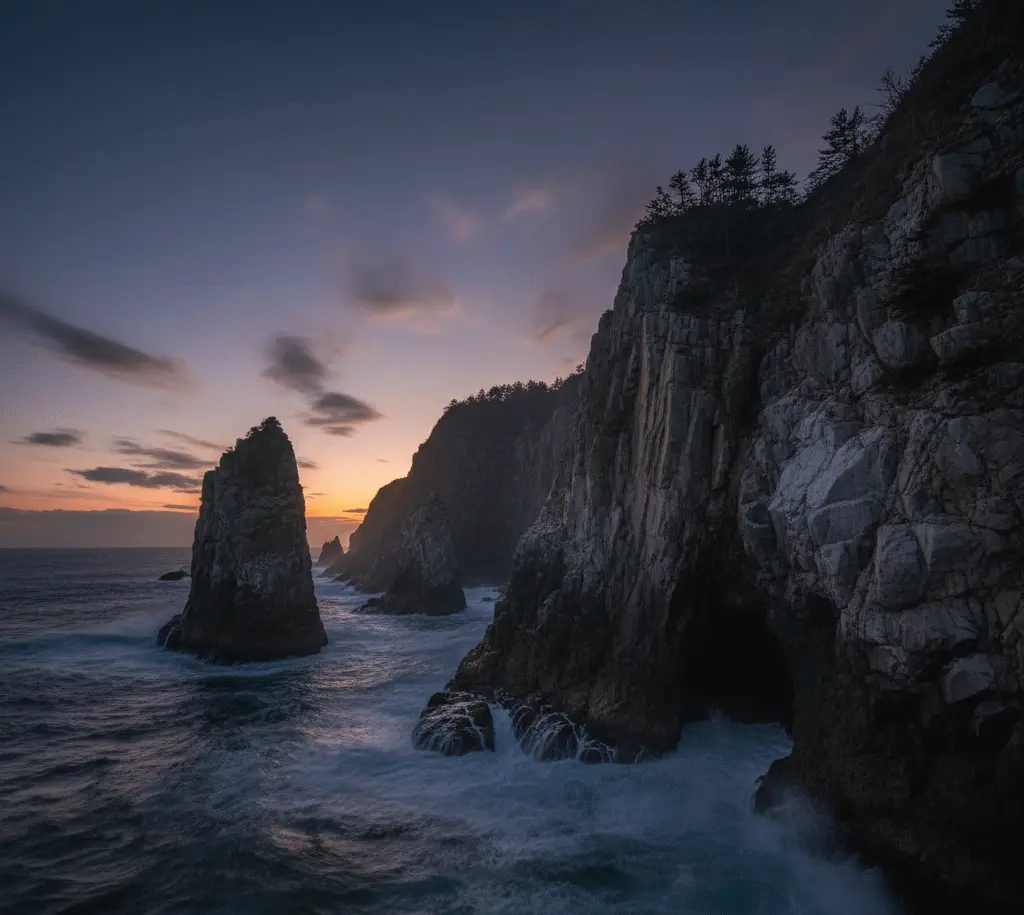
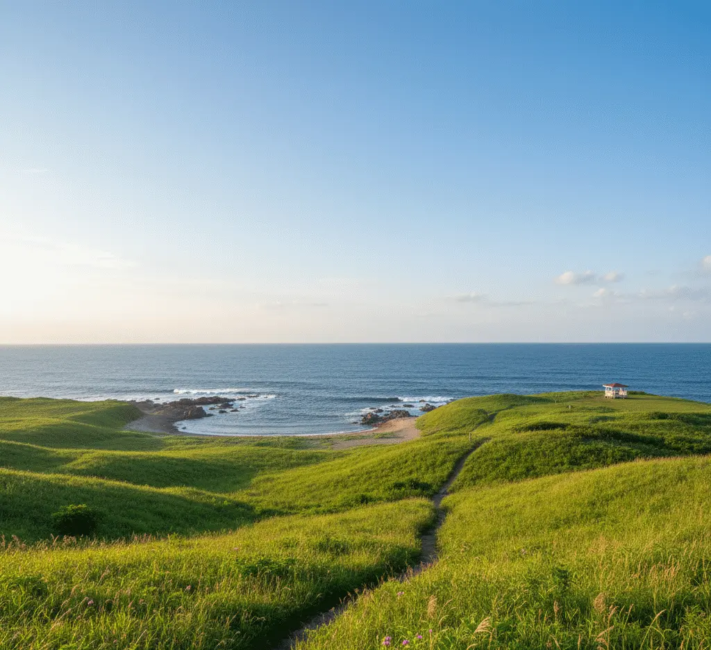
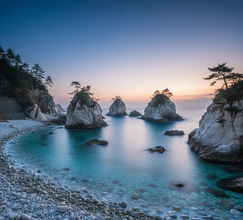
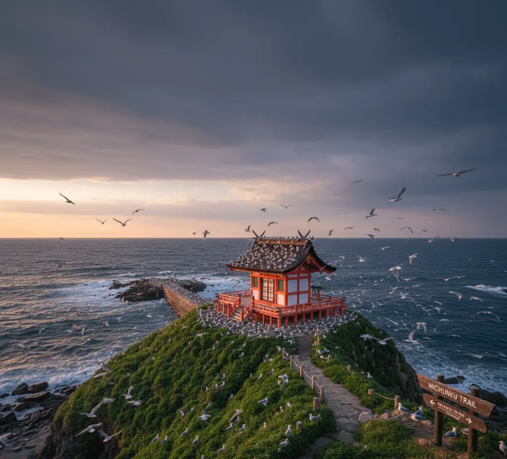
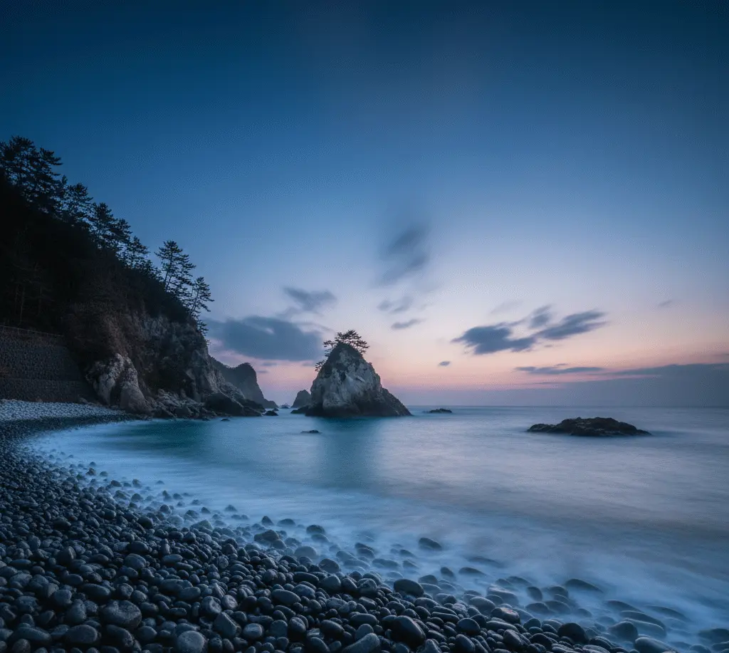
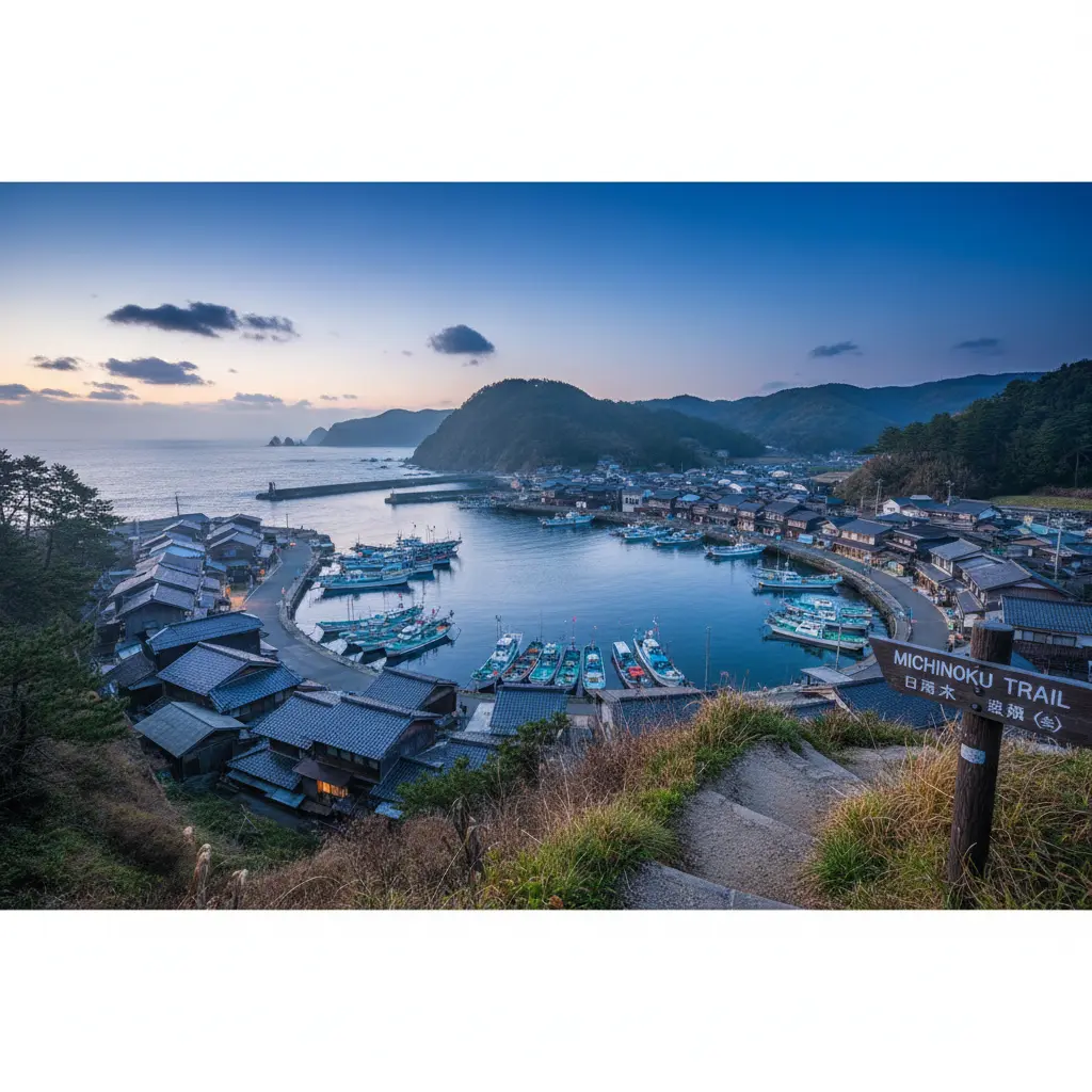
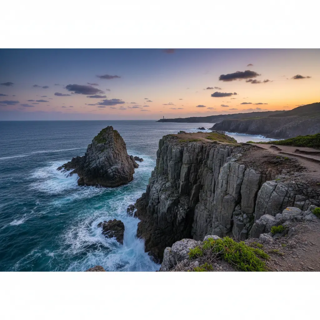
Michinoku Coastal Trail is Japan's longest long-distance hiking route, stretching 1,025 km (637 miles) along the Pacific Coast from Hachinohe City (Aomori) to Soma City (Fukushima). Opened in 2019, it was established as part of recovery efforts following the 2011 Great East Japan Earthquake and tsunami.
1,025 km (637 miles) through 4 prefectures and 28 municipalities.
50-60 days for full thru-hike. Most hikers do day hikes or multi-day sections.
North: Kabushima Shrine (Hachinohe). South: Matsukawaura (Soma).
Sea cliffs, beaches, rias coastlines, pine forests, and fishing villages.
Only ~130 thru-hike completions to date. One of Japan's quietest major trails.
Connects nature, local communities, and traces of the 2011 disaster for visitors.
While the full trail takes 50+ days, most hikers explore specific sections. Here are the highlights:
Distance: 25 km (can be segments) | Time: 2-4 hours | Difficulty: Easy
The trail's northern terminus. Rolling green meadows extending to the ocean, Kabushima Shrine with 30,000 seabirds, singing sand beaches, and century-old pine groves. Ideal for families and beginners.
Distance: 10 km | Time: 3-4 hours | Difficulty: Moderate-Strenuous
The most dramatic section - "Alps of the Sea." Towering cliffs 200m above the Pacific, steep stairways through pine forests, hand-carved tunnels, and unforgettable panoramic viewpoints. The trail's crown jewel.
Distance: 8 km | Time: 2-3 hours | Difficulty: Easy
"Pure Land Paradise" - white limestone formations in turquoise waters. Blue Cave boat tours, swimming coves, and gentle coastal walking. Perfect for half-day exploration.
Distance: 6 km | Time: 2-3 hours | Difficulty: Easy
Black pebble beaches, crystal-clear waters, natural ocean arches, and the cliff-top Kurosaki Senkyo Onsen with Pacific views. Selected as one of Japan's 100 Best Beaches.
Spring (late March-June) and Autumn (September-November) offer the most favorable conditions. Summer is hot and humid; winter is feasible but challenging.
| Season | Temperature | Conditions | Recommendation |
|---|---|---|---|
| Spring | 8-20°C | Wildflowers, cherry blossoms, long days | ⭐ Excellent |
| Summer | 25-30°C | Hot, humid, possible typhoons | Not recommended |
| Autumn | 12-20°C | Crisp air, stunning foliage, seafood season | ⭐ Ideal |
| Winter | -1-8°C | Short days, some closures, light snow | Experienced only |
Often considered the ideal season for Tohoku hiking. Temperatures around 12-20°C, crisp air, lower humidity, stunning autumn foliage, and seafood markets overflowing with seasonal catches. Late October through early December offers peak colors.
The trail ranges from easy to moderate overall, with most sections near sea level. However, northern Iwate Prefecture features challenging terrain.
A full 50-60 day thru-hike requires advanced fitness: ability to hike 20-30 km daily on varied terrain with 400-1,100m elevation gain. Training recommendations include 15-25 km hikes 3-5 days weekly, building to consecutive multi-day efforts.
Several operators offer guided and self-guided tours with accommodations, meals, and luggage transfers.
Guided and self-guided options. Oceanside ryokan accommodations, seafood cuisine, expert bilingual guides. The "Michinoku Coastal Wayfarer" is their signature offering.
7-day guided or 8-day self-guided tours. Covers 235 km northern section. Includes luxury glamping, onsen, winery tours, and local experiences.
10-day small-group guided tours. Local guides as cultural bridges, insights into 2011 recovery, authentic community connections.
7-day self-guided from Hachinohe to Morioka. All bookings handled, detailed route info, walk at your own pace.
Options range from traditional inns to budget hostels. Book ahead as rural areas have limited choices.
| Type | Price/Person | Description |
|---|---|---|
| Ryokan | ¥6,000-25,000 | Traditional inns with meals included |
| Minshuku | ¥4,000-10,000 | Family-run B&Bs, often with meals |
| Business Hotels | ¥5,000-13,000 | Route Inn, APA, Toyoko Inn in cities |
| Hostels | ¥1,500-5,000 | Budget-friendly shared accommodations |
Tohoku's dramatic Pacific Coast scenery
1,025 kilometers (637 miles) - Japan's longest hiking trail. Running from Hachinohe (Aomori) to Soma (Fukushima) through 4 prefectures and 28 municipalities. A full thru-hike takes 50-60 days.
Not at all! Only about 130 people have completed the full thru-hike since 2019. It's one of Japan's least crowded major trails, offering authentic solitude. Even popular sections like Kitayamazaki see limited visitors compared to Kumano Kodo.
Autumn (September-November) is often considered ideal: crisp air, stunning foliage, seafood season. Spring (late March-June) offers wildflowers, cherry blossoms, and comfortable temperatures. Avoid July-August due to heat and humidity.
Easy to moderate overall, with most sections near sea level. However, northern Iwate (Kitayamazaki Cliffs) is strenuous with 200m cliff ascents, steep ladders, and tunnels. A full thru-hike requires advanced fitness for 20-30 km daily.
Absolutely! Most visitors explore specific sections. Tanesashi Coast (2-4 hours), Kitayamazaki Cliffs (3-4 hours), and Jodogahama Beach (2-3 hours) are popular day hikes accessible by public transport.
The trail connects natural beauty with recovery from the 2011 tsunami. You'll encounter fishing villages, seafood markets, temples, hot springs, and memorials. It's a journey through resilient communities and dramatic coastal landscapes far from tourist crowds.